Country and County: Wales
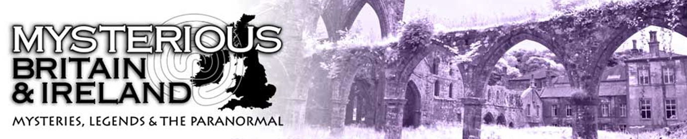
Growing up in the countryside of rural Britain in the 1980s, it was almost impossible to get through a single week without over-hearing the mumbled and hushed whispers of nearby adults discussing the emergent...
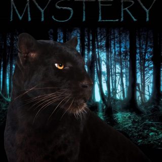
Wren Day is celebrated on St Stephens Day (26 December) and generally comprised of a wren being killed, attached to a pole and presented on doorsteps within the township by wrenboys, singing a rhyme...
ONE day when the birds were all together, one of them said, “I have been watching men, and I saw that they had a king. Let us too have a king.” “Why?” asked the...
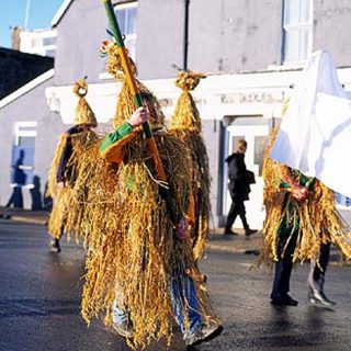
The Albion is a pub that can be found on Upper Gate Street in the old and historic town of Conwy. It was built in around 1925, on the site of two older inns, to be a modern building in the style of the day.
When Andy first got in touch regarding his new book I was intrigued by the concept of a paranormal book which contained a collection of stories from what I consider to be one of the most reliable forms of evidence – Police Statements.
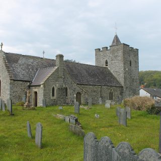
The following account from ‘Haunted Churches’ (1939) by Elliott O’Donnell (27 February 1872 – 8 May 1965) refers to a Devil tradition associated with three churches in close proximity, though he does not name the individual church.
Elliott O’Donnell gives the following description of a submerged town near Llangadock in his 1939 book ‘Haunted Churches’.
The following story entitled ‘The Roaring Bull of Bagbury’ was published in ‘English Fairy and Other Folk Tales’ (1890) by Edwin Sidney Hartland.
The following account from ‘Haunted Churches’ (1939) by Elliott O’Donnell (27 February 1872 – 8 May 1965) refers to a Devil tradition associated with three churches in close proximity, though he does not name the individual church.
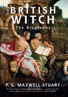
For over five hundred years witches, male and female, practised magic for harm and good in their communities. Most witches worked locally, used by their neighbours to cure illness, create love, or gratify personal spite against another.


Recent Comments